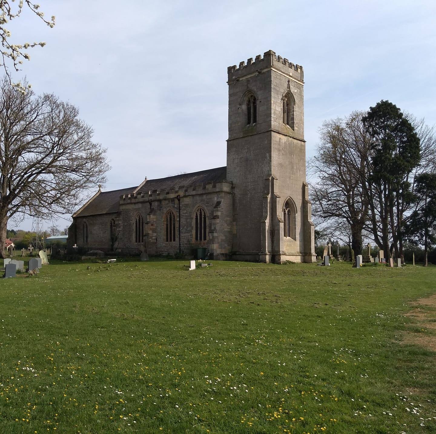

Hayton is an agricultural parish two and a half miles from the market town of Retford, Nottinghamshire.
The village sits with its eastern back to Hollins Hill which, at 223 feet, is the highest point in the area. Its western boundary is drawn by the River Idle.
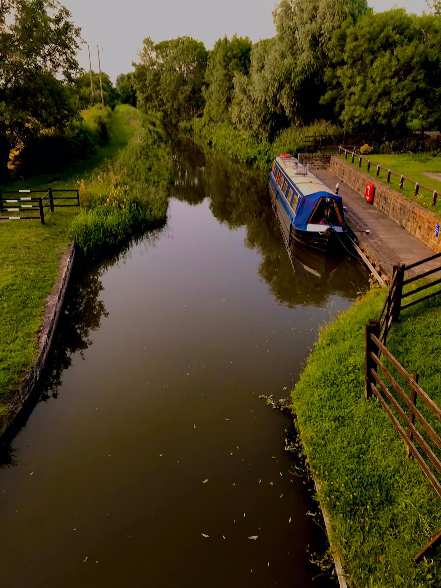
It is a linear village about a mile in length running north from The Boat Inn to the Clarborough village boundary in the South. One of its most delightful assets is its close alignment to the Chesterfield Canal which affords wonderful walks that in turn link to a large network of local footpaths.
It is an undiscovered rural delight and well worth a visit